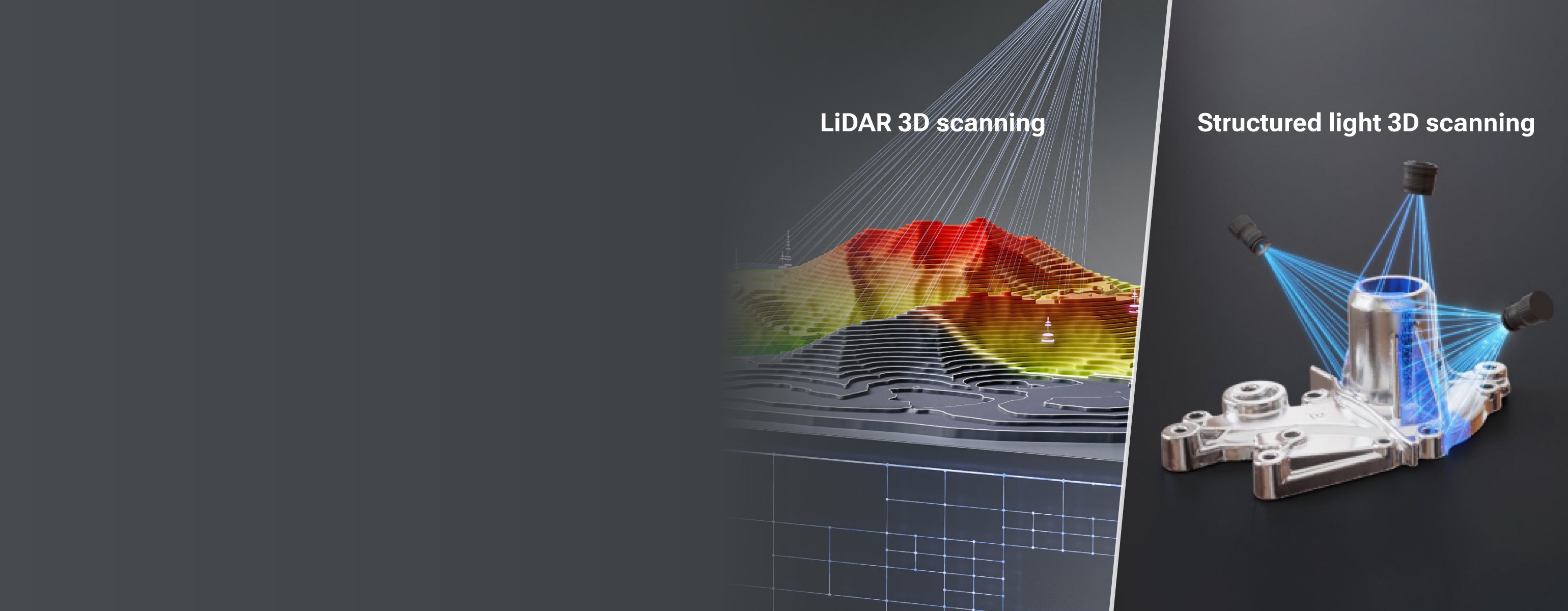
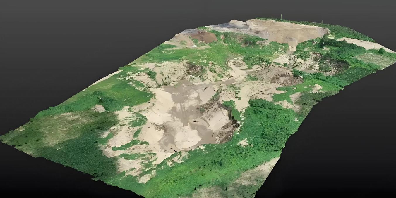
LiDAR technology used for terrain surveying and large-scale landscape mapping
When Is LiDAR a Good Choice?
LiDAR is often well suited to applications that require broad coverage or long-range spatial measurement. It may be a good choice when you need:
-
Large-area 3D data
-
Long-range depth measurement
-
Room, building, or street-level capture
-
Environmental mapping
-
Spatial awareness
-
Navigation or autonomous perception
4. Structured Light vs LiDAR: What’s the Difference?
Both structured light and LiDAR can capture 3D data, but they use different measurement principles and are often optimized for different tasks.
|
Feature
|
Structured Light
|
LiDAR
|
|
Measurement principle
|
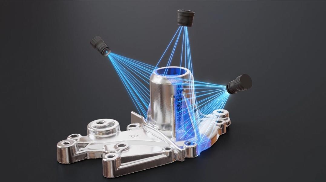
Analyzes how projected light patterns change across a surface
|
Measures the travel time of laser light
|
|
Typical measurement range
|
Short to medium range
|
Medium to long range
|
|
Main strength
|
Detailed object geometry and surface information
|
Large-scale spatial measurement and mapping
|
|
Typical targets
|
Faces, products, parts, and objects
|
Rooms, buildings, streets, and environments
|
|
Common applications
|
3D scanning, inspection, reverse engineering
|
Mapping, robotics, surveying, and navigation
|
|
Typical output
|
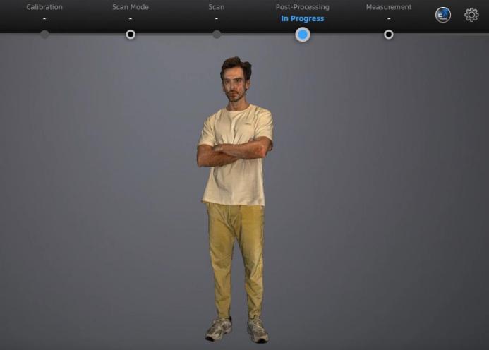
Detailed object point clouds or meshes
|
Large-scale spatial point clouds
|
The biggest difference is not simply that one technology is “more accurate” than the other. Instead, they are generally designed to answer different measurement needs:
Structured light is often optimized for capturing detailed object geometry, while LiDAR is often optimized for measuring distance and understanding larger spatial environments.
5. Combining Large-Scale LiDAR Data with Detailed 3D Scanning
Structured light excels at capturing highly detailed object geometry, while LiDAR is optimized for measuring large environments. In this guide, you'll learn how each technology works, their key differences, and when to use one—or combine both—for 3D data capture.
Why Combine LiDAR and 3D Scanning?
LiDAR captures large environments well, but often lacks fine object detail. 3D scanning can fill this gap by adding high-resolution geometry for specific objects. Together, they provide:
-
LiDAR: overall spatial context
-
3D scanning: detailed object geometry
-
Combined result: a more complete 3D dataset
Adding Detailed 3D Geometry with EinScan Libre
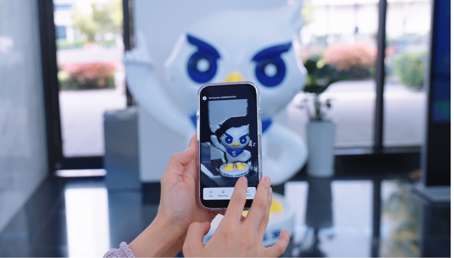
SHINING 3D’s EinScan Libre is a wireless, standalone 3D scanner designed for flexible 3D capture. Depending on the scanning mode and workflow, it can capture objects ranging from small parts to large structures.
EinScan Libre also supports exporting scan data in formats such as LAS, a widely used point-cloud format for large-scale and georeferenced datasets. By exporting detailed scan data in LAS format, users can import it into compatible point-cloud software and combine it with LiDAR datasets.
This workflow makes it possible to preserve both the broader spatial context captured by LiDAR and the detailed geometry captured by 3D scanning.
To learn more about LAS and other common 3D file formats, explore our guide Understanding 3D File Formats: A Complete Guide for Designers, Engineers, and 3D Enthusiasts.
Real-World Examples
Case Video 1
From Scale to Detail: 3D Scanning Historic Architecture
In this heritage preservation project, large-scale LiDAR scanning was used to capture the overall layout of a 745 m² traditional courtyard house, while EinScan Libre recorded the fine details of its intricate wooden carvings. Together, the datasets created a comprehensive digital record to support restoration, research, and preservation.