Resource center
Discover our latest resources
Filter posts:
-

SHINING 3D Concludes 2024 Global Reseller and Partner Meetings
SHINING 3D proudly concludes its 2024 Global Reseller and Partner Meetings, a significant milestone in the company’s 20th anniversary celebrations.
Learn More -
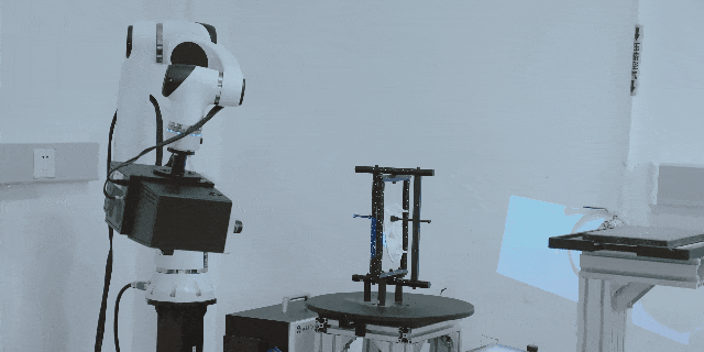
A New Method for Incoming Material Inspection: SHINING 3D Automated Inspection System
Looking to make your material inspection process smoother? SHINING 3D’s Automated Inspection System has got you covered! By combining high-accuracy 3D scanning with collaborative robotics, we offer a fast, accurate, and reliable way to inspect even the most complex components. With OptimScan 5M Plus at the heart of it all, we capture intricate details down to 0.005 mm. Plus, the automated scanning cuts down on the need for human intervention, boosting both efficiency and data traceability from start to finish.
Learn More -

Empowering Global Talent: SHINING 3D’s High-Accuracy Solutions Shine at WorldSkills Lyon
SHINING 3D played a key role at the event by providing cutting-edge, high-accuracy 3D scanning equipment, ensuring the highest standards for WorldSkills.
Learn More -
.jpg)
Optimal Methods for Large Parts Inspection: High-Accuracy 3D Scanning Technology
In this case study, you’ll understand how 3D scanning technology helped in inspecting large parts in engineering machinery industry. And what's the advantages of using SHINING 3D high-accuracy metrology 3d scanners.
Learn More -
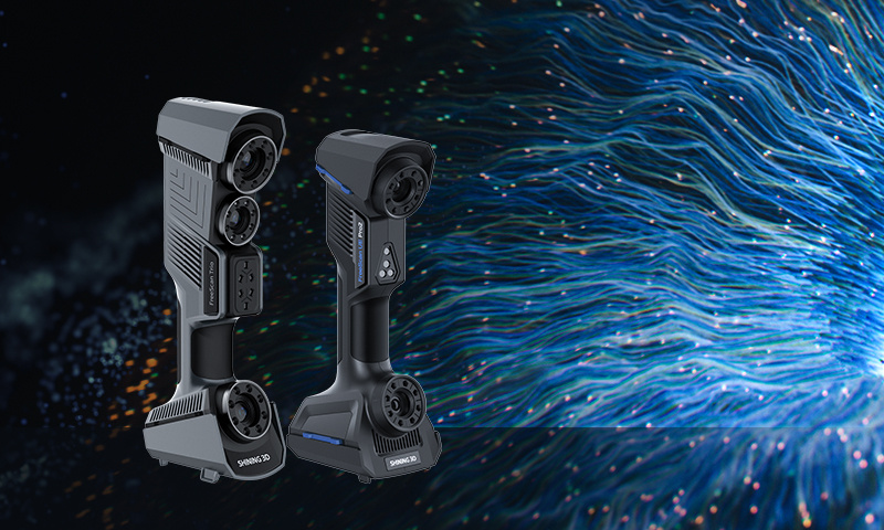
SHINING 3D Celebrates 20th Anniversary with Trade-In Program
The program is designed to make our high-accuracy, metrology-grade 3D scanners more accessible, enabling a wider range of industries to benefit from our innovative solutions.
Learn More -

SHINING 3D Launches “Tell Us Your Story” Campaign
The campaign invites SHINING 3D users, from enthusiasts to industry professionals, to share how 3D technology has impacted their work and creative processes.
Learn More -

SHINING 3D is now an Official Club Sponsor of the VfB Stuttgart Soccer Club
SHINING 3D is now an official sponsor of VfB Stuttgart, marking a key step in expanding our presence in Germany.
Learn More -
-

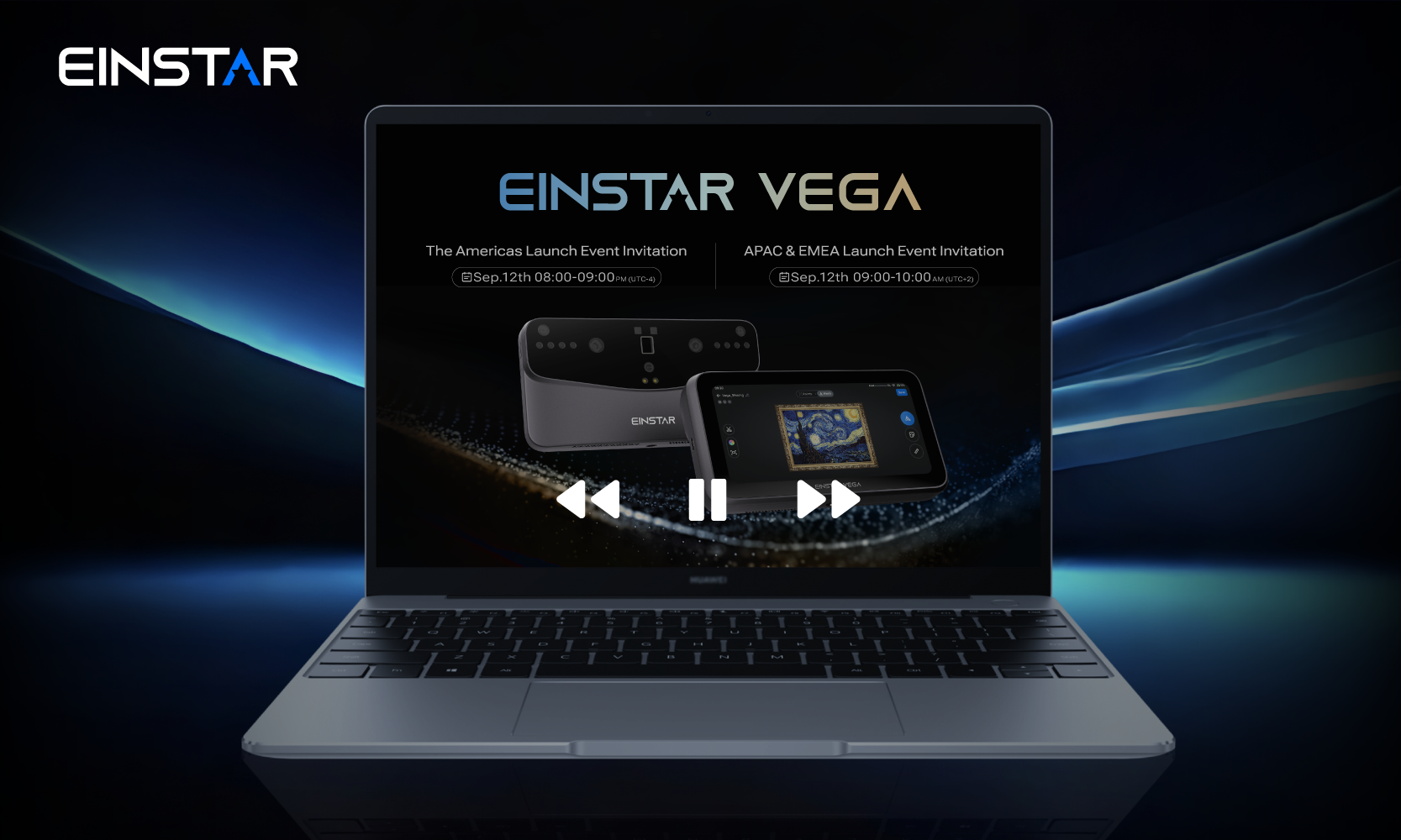
EINSTAR Unveils VEGA: A New Wireless All-in-One 3D Scanner
EINSTAR has officially launched a brand new product: the EINSTAR VEGA, a wireless all-in-one 3D scanner.
Learn More
